


BLOG: The Importance of Indoor Drone Navigation and Mapping Software Development
Let's Talk ! ![]() 954 342 5676
954 342 5676 ![]() +44 137 243 2466
+44 137 243 2466
Chetu provides SMB & enterprise drone management software solutions. We have experience programming popular drone adapters, payload managers, connectivity managers, and APIs. Get industry specific solutions for swarm, video streaming, Machine Learning, and real-time analytics.
Chetu excels in advanced drone adapter programming, providing seamless integration with diverse drone hardware. Our expertise enhances adaptability and functionality, optimizing connectivity for your drone fleet. Explore our services for drone adapter programming, hardware integration, and fleet management.
Our centralized fleet management offers a unified platform for monitoring and controlling your drone fleet. Benefit from real-time status tracking and optimized operational efficiency through efficient deployment, route optimization, and task scheduling. Gain valuable insights for decision-making and long-term planning.
We specialize in real-time video transmission integration, facilitating seamless streaming of high-quality video feeds from drones to ground control stations. We prioritize low-latency transmission, elevating situational awareness and decision-making for enhanced drone operations and drones for commercial use.
Our real-time analysis and machine-learning capabilities empower drones to process and analyze data on the fly. We leverage AI algorithms to enable drones to identify real-time patterns, anomalies, and actionable insights. It enhances operational intelligence, efficiency, and overall drone data analysis.
We excel in API development for drone swarms, enabling seamless communication and coordination across drones. Our APIs facilitate efficient task allocation, collaborative mission planning, and adaptive swarm behavior. Empower your drone fleet with enhanced autonomy and scalability.
Our dedicated team of 2,800+ in-house developers has extensive industry-specific experience building custom drone software solutions and applications for:
Elevate drone operations with our cutting-edge software. We ensure unparalleled aerial precision through real-time data processing, high-quality video transmission, and advanced APIs for precise coordination and mission planning.
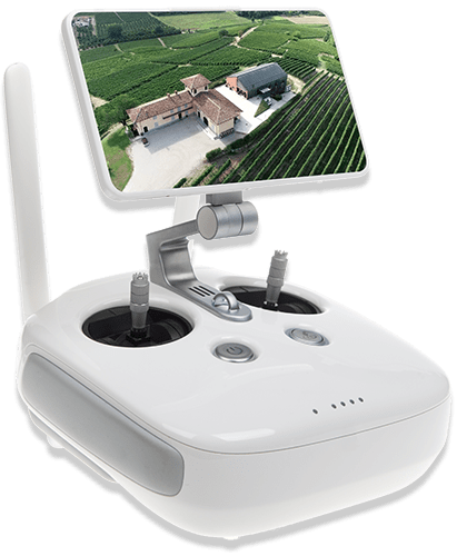
Our software facilitates precise measurements and scalable representations for telecom, construction, agriculture, and roofing industries. Our UAV development enables mission-critical inspection of assets in remote and metropolitan areas. Our drone-based LiDAR sensor configurations and drone photogrammetry enhance the accuracy and efficiency of asset inspection processes.
Experience seamless asset inspection with our cutting-edge drone inspection software. Operators can swiftly and efficiently inspect assets in real time by integrating image optimization software and Machine Learning with drone technology. Our software ensures precise asset cataloging by analyzing datasets to translate findings into CAD and GIS formats.
We specialize in developing intelligent operating systems for UAVs. Our cutting-edge technology includes AI-capable collision avoidance, object tracking, precise navigation, and landing calibration. We offer UAV payload integration covering an array of cameras and sensors, including RGB cameras, infrared sensors, LiDAR, and radar.
Explore our cutting-edge drone software solutions specially tailored for precision agriculture. Maximize farming efficiency with comprehensive mapping, detailed analysis, and landscape management for optimal results.
Experience seamless drone technology with our integrated solutions. Elevate performance, enhance capabilities, and unlock new possibilities with advanced drone software.
Manage drone-captured images, video, and data from the Cloud or on-premises, leveraging multi-server instances for highly scalable operations. We deploy RESTful APIs to enable analysis and sharing of information with ERP, CRM, SCM enterprise systems and BI platforms.
We provide real-time Cloud access and 4G/LTW connectivity, enabling remote flight data and control. Equip the drone with automatic path carving, incorporating consideration of no-fly zones, elevation, and obstacle avoidance. Manage your entire delivery fleet in real time through a centralized web-based dashboard. Using drone positioning systems, precision landing, and delivery deploy tags for accurate hovering and precise package delivery.
We implement the latest Indoor Positioning System (IPS) technologies for indoor navigation of drones in our development. Our engineering of 3D positioning systems enables germicidal C-band ultraviolet (UVC) drone navigation. Our indoor drone software provides disinfectant and sanitation solutions used by hospitals, public transportation, schools, and more.
FEATURED
CONTENT
Drop us a line or give us a ring. We love to hear from you and are happy to answer any questions.
Get Drone Technology DevelopersContact Us
Headquarters & Delivery Center
1500 Concord Ter.
Suite 100,
Sunrise, FL 33323
Join the conversation
Privacy Policy | Legal Policy | Careers | Sitemap | Referral | Contact Us
Copyright © 2000-2024 Chetu Inc. All Rights Reserved.