Let's Talk ! ![]() 954 342 5676
954 342 5676 ![]() +44 137 243 2466
+44 137 243 2466
In 1854, physicians believed that cholera was an airborne disease that traveled in an invisible cloud called a miasma. A London physician, John Snow, decided to test this theory. After a local cholera outbreak, he marked every patient’s home on a map. Snow realized that what the victims had in common was drawing water from the same pump on Broad Street. His investigation was one of the first documented cases of using geography to study public health.
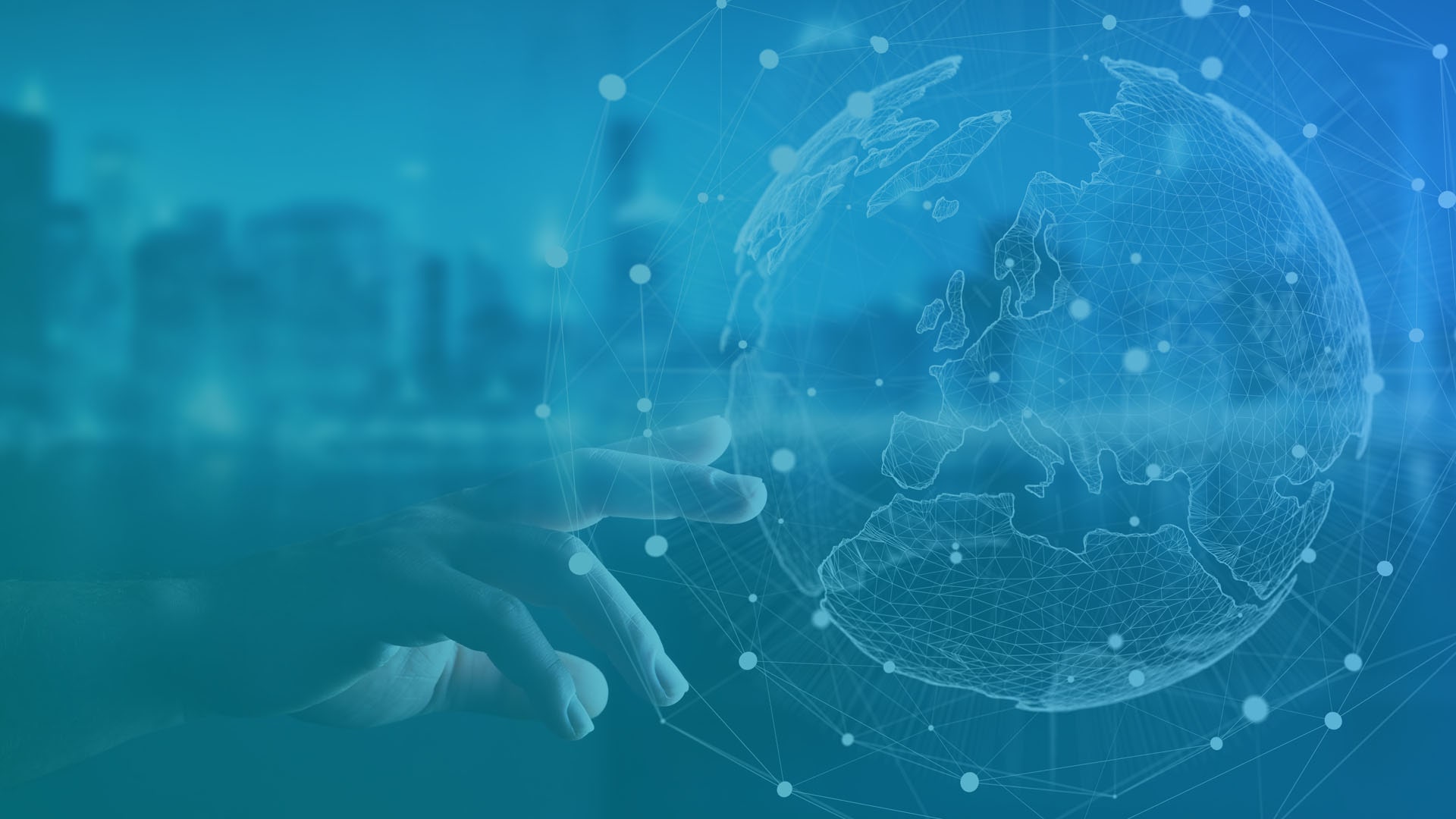
Modern computer systems can store and process data more efficiently than a lone physician. A geographical information system is a platform that analyzes and displays location-based information. Such systems can measure trends in a single location over time or help connect data between separate locations.
This technology has been in use for several years in disciplines like city planning, geology and environmental science. GIS data measures changes in the local climate and shifts in population. More recently, the medical field has realized the benefits of pairing the vast information found in electronic health records with GIS resources.
Data mapping in healthcare is changing the way the medical industry thinks about patient care and services. For public health workers, understanding the relationship between location and health will improve both individual patient care and general health advocacy efforts. The number of health-related applications will grow as more organizations adopt GIS solutions.
Implementing GIS technology allows medical professionals to observe health trends in a region over time. In the past, incomplete information slowed efforts because individual physicians did not necessarily see enough cases to spot a pattern.
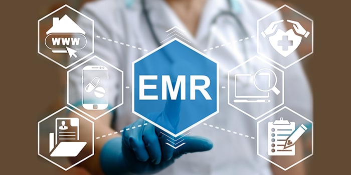
Electronic health records contain a larger pool of information. Data analysis will reveal commonalities in the patients of several local physicians at the same time. Using GIS in public health will alert officials to problematic trends sooner.
When doctors see a repeated diagnosis coming from the same area, they can examine other traits that patients hold in common. Public health officials use GIS for both diagnoses and prevention. This technology has helped track obesity trends in children, increasing asthma rates in industrial neighborhoods and potential cancer clusters due to agricultural spraying.
When a virus begins to spread, putting affected people in quarantine is an effective way to slow the infection rate. Matching geographic data with diagnoses helps public health officials identify hot spots sooner. Local officials will make informed decisions about school and business closings. This planning will prevent hospitals from being overwhelmed and save lives.
At the same time, GIS can be a tool for monitoring vaccination rates. Public health departments will have a better sense of where to target their vaccination information campaigns. They can also alert hospitals and clinics of potential outbreaks of measles and other diseases in neighborhoods with low vaccination compliance.
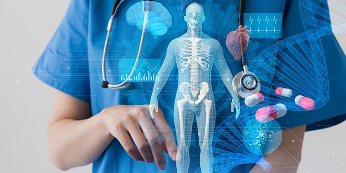
Wearable technology has the potential to provide large amounts of real-time data. Smartwatches are already taking measurements of patient heart rates and EKGs. Integrated health devices can monitor blood sugar. Most current measurements involve sensors on the skin, but sensors that take internal readings are in development. The variety of measurements will expand as this technology improves.
While data from wearable tech can help an individual patient, doctors can also cross-reference it with geographical information. This pairing is another way to spot trends. A public health department could use this information to track how much exercise people are getting in a given population. Other applications include:
Monitoring stress levels
Determining an average resting heart rate
Age-based monitoring of blood sugar for school systems
Tracking the incidence of cardiac emergencies over time
Not everyone who is sick will report their symptoms. During flu season, many people will treat their illness with rest and over-the-counter medications. They may take a few sick days from work. Patients will not always tell their doctors unless the symptoms become severe.
For public health officials, this self-treatment means that they will not have a complete picture of how a virus progresses through an area. They will only have access to information from populations who are more likely to have serious symptoms.
However, people are willing to share news of their illnesses over their social media accounts. They may send a tweet to co-workers informing them of the sickness or talk about symptoms on their social media posts. Because social media accounts are tied to a location, GIS technology can track references to an illness in an area. Coupling social media information with healthcare facility reports gives a better sense of the extent of the virus.
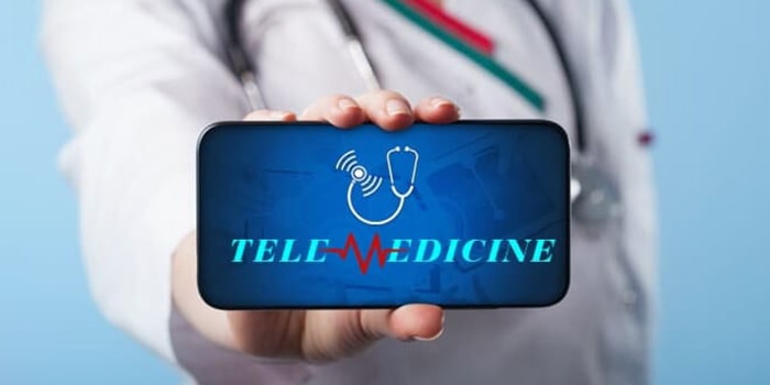
Receiving adequate healthcare is often tied to a location. Patients will only travel so far to receive the care they need. GIS tech can play a role in helping a healthcare system plan and market its services. Medical GIS will determine unmet needs in a region as a health institution looks at potential programs.
Examining patient travel times is another way that GIS will shape the healthcare system. In both urban and rural areas, healthcare systems can determine underserved populations and open clinics or other healthcare centers to meet them.
Geographical data also has an impact on medical marketing. With a better sense of the location of clients, healthcare systems can deploy effective targeted marketing campaigns. Focusing on a specific location will reduce marketing costs and improve the campaign's results. The healthcare provider can also include marketing that focuses on the services most needed in that area.
Data mapping in healthcare is not only about regional health. It can also impact the performance of local healthcare centers. Hospitals use GIS to map patient outcomes in different departments or from floor to floor. Improving the layout of a hospital wing may lead to better care for critical patients.
Just as GIS tracks infectious diseases in a broad community, it can also monitor infections passed in a healthcare setting. As a hospital sees which patients become ill, it can examine care practices and identify potential problems. Staff will then use GIS to measure the effectiveness of changes. Employing this technology will improve patient outcomes.
Geographic information systems in healthcare are a way to apply advanced computer science to improve patient care and public health. The developers at Chetu design custom, healthcare software solutions, integrated with GIS technology, taking your efforts to the next level. Give us a call today.
Disclaimer:
This content has been made available for information purposes only. Views and opinions expressed in this content are those of the individual author only and do not necessarily represent the opinions and views of Chetu. Chetu, and its representatives, make no representation or warranty of any kind, express or implied, regarding the accuracy, adequacy, validity, reliability, availability, or completeness of any information of this content. Under no circumstances shall Chetu, or its representatives, have any liability to you or any loss or damage of any kind incurred as a result of the use of this content or reliance on any information provided in this content. Your use of this website and your reliance on any information on this content is solely at your own risk.
About Chetu:
Founded in 2000, Chetu empowers businesses with AI and digital transformation solutions, supporting startups, SMBs, and Fortune 5000 companies. We deliver end-to-end software solutions backed by global digital intelligence and industry expertise. Our customized software delivery model and one-stop-shop approach span the full technology spectrum. Headquartered in Sunrise, Florida, Chetu operates 13 locations across the U.S., Europe, and Asia.
See more at: Chetu Blogs
Limited Time Offer for a Free E-Book
Privacy Policy | Legal Policy | Careers | Sitemap | Referral | Contact Us
Copyright © 2000- 2026 Chetu Inc. All Rights Reserved.