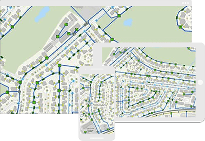
Leverage ArcGIS with ready-to-use maps to quickly deliver projects related to utilities and infrastructure. Analyze projects, deliver essential workflows, and share asset information with your stakeholders.
Natural resources
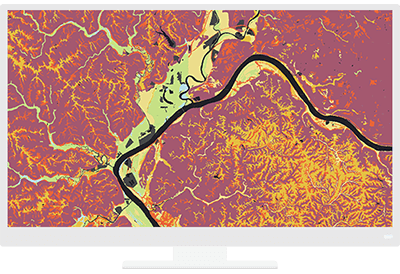
Analyze, design, and build solutions to improve the natural environment in a sustainable and responsible way by bringing geographic context into your projects.
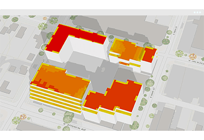
Urban design
Create and use real-world visualizations and share in 2D/3D to make better designs and present your work more effectively.
Streamlining the Project Life-Cycle for AEC
GIS is transforming AEC through improved workflows, better collaboration, and strategic partnerships to build smart communities and assets for the future. Add location to design to understand projects in context and deliver repeatable solutions.
HASSLE-FREE, AFFORABLE SOLUTIONS FIND OUT HOW TO GET STARTED NOW
With Chetu ESRI ArcGIS custom solutions users can visualize and transform location data into 2D/3D models to solve problems, identify patterns, trends, create an as-built environment, understand the big picture, and share with others.